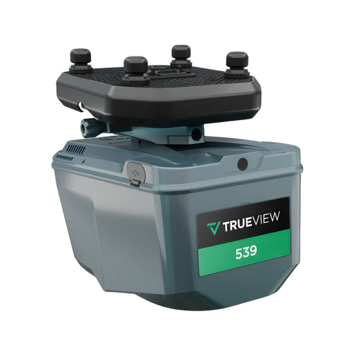
Engineering-grade LiDAR for survey teams using a high-precision laser scanner with a 26 MP full-frame global-shutter camera in a compact, ~1.45 kg payload.
The TrueView 535 is a lightweight, high-accuracy drone LiDAR system featuring the RIEGL miniVUX-2UAV scanner and dual 20 MP cameras. It delivers survey-grade precision, dense point clouds, and high-resolution RGB imaging, making it ideal for applications such as topographic mapping, forestry, and infrastructure assessments.
The TrueView 625 is a high-performance drone LiDAR and imaging system featuring the RIEGL miniVUX-3UAV sensor and dual 20 MP cameras. It delivers survey-grade accuracy, high-density point clouds, and detailed photogrammetry for applications such as utility mapping, forestry, and precision surveying.
The TrueView 540 is a compact, high-accuracy drone LiDAR system equipped with the RIEGL miniVUX-3UAV scanner and dual 20 MP cameras. It delivers precise point clouds and high-resolution photogrammetry, making it ideal for applications such as surveying, construction, and environmental monitoring.
The TrueView 680 is a high-performance drone LiDAR and photogrammetry system featuring the RIEGL VUX-1UAV scanner and dual 20 MP cameras. Designed for large-scale surveying and high-precision mapping, it delivers superior accuracy, dense point clouds, and detailed RGB imagery for applications such as powerline mapping, forestry, and infrastructure assessment.
The TrueView 655 and 660 are advanced drone LiDAR and photogrammetry systems featuring the RIEGL miniVUX-3UAV (655) and VUX-1UAV (660) sensors, along with dual 20 MP cameras. These high-precision systems deliver exceptional accuracy, high-density point clouds, and detailed RGB imaging for applications such as corridor mapping, forestry, and infrastructure assessment.
The TrueView 680 is a high-performance drone LiDAR and photogrammetry system featuring the RIEGL VUX-1UAV scanner and dual 20 MP cameras. Designed for large-scale surveying and high-precision mapping, it delivers superior accuracy, dense point clouds, and detailed RGB imagery for applications such as powerline mapping, forestry, and infrastructure assessment.