TrueView 535 vC Traditional + Software
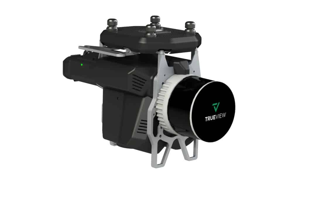
The TrueView 535 is a compact and efficient LiDAR and photogrammetry system designed for UAV-based aerial mapping. Equipped with the RIEGL miniVUX-2UAV LiDAR scanner, it captures detailed, high-density point clouds with superior accuracy. The dual 20 MP cameras enhance photogrammetry capabilities, providing high-resolution RGB imagery for colorized point clouds and mapping applications. Optimized for multirotor UAVs, the TrueView 535 is an excellent solution for surveyors and geospatial professionals seeking precision and reliability in their data collection workflows.
Key Features:
- High-Accuracy LiDAR Scanning – Utilizes the RIEGL miniVUX-2UAV for precise, high-density point cloud generation.
- Dual 20 MP Cameras – Captures high-resolution imagery for photogrammetry and colorized point clouds.
- Lightweight and UAV-Optimized – Designed for seamless integration with multirotor drones.
- Advanced Data Processing – Fully compatible with LP360 software for automated classification, feature extraction, and analysis.