Description
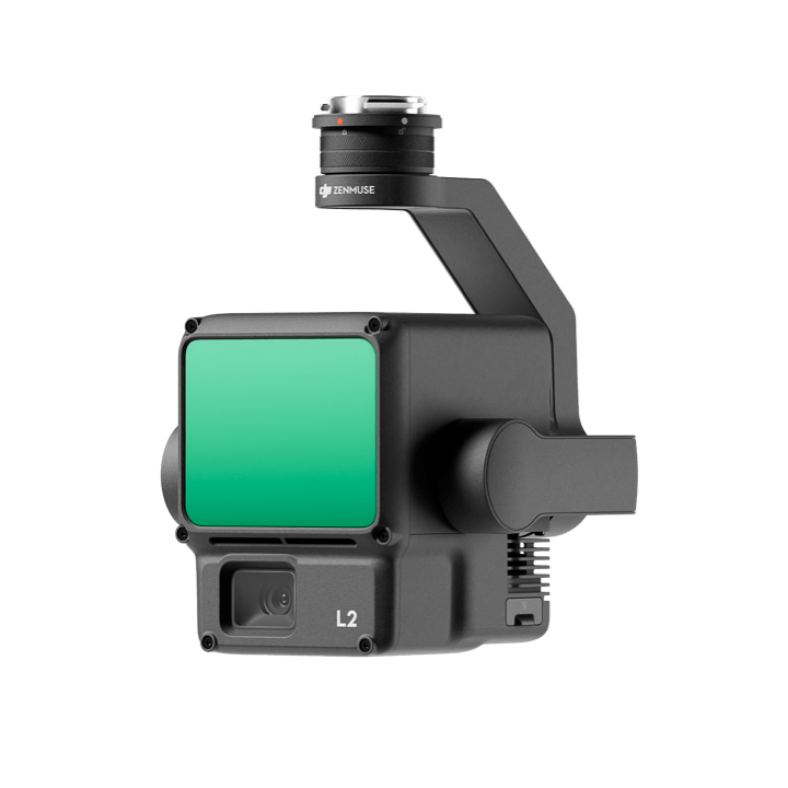
Integrated LiDAR Solution
Supported by its powerful hardware, L2 can allow for a precise scan of complex subjects within an extended range and faster point cloud acquisition. During operations, users can preview, playback, and process point cloud models on-site, with Task Quality Reports generated by DJI Terra, offering a simple, one-stop solution to improve overall efficiency. This enables users to achieve high-precision point cloud results with one-stop post-processing.
- High-Level Precision
- Exceptional Efficiency
- Intuitive Operation
Frame-Based LiDAR
- 30% Detection Range Increase
- Smaller Laser Spots, Denser Point Clouds
- Supports 5 Returns
- Effective Point Cloud Rate: 240,000 pts/s
- Two scanning modes: repetitive and non-repetitive
High-Accuracy IMU System
- Improved Accuracy
- No IMU Warm-up
RGB Mapping Camera
- 4/3 CMOS, Mechanical Shutter
- 3.3 μm Pixel Size
- 20 MP
- 0.7 sec Min. Photo Interval
Reviews
There are no reviews yet.