Description
The Microdrones mdMapper 1000 DG is a professional, integrated drone solution for aerial surveying and mapping that is distinguished by its use of Direct Georeferencing (DG) technology. This feature sets it apart from traditional photogrammetry systems by significantly streamlining the workflow and improving data accuracy, especially in complex environments.
Key Features and Functionality
-
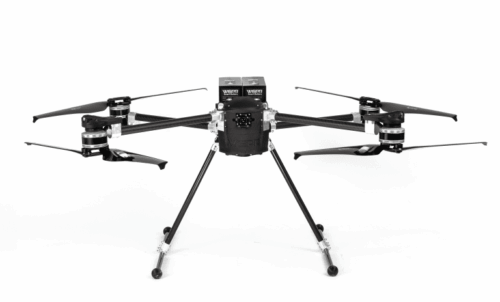
- Direct Georeferencing (DG): This is the core of the system’s value proposition. The mdMapper 1000 DG includes an integrated Applanix APX-15 UAV DG, a compact module with a survey-grade GNSS receiver and a precisely calibrated Inertial Measurement Unit (IMU).3 This technology directly measures the position (X, Y, Z) and orientation (roll, pitch, yaw) of the camera at the precise moment each photo is taken.
- No Ground Control Points (GCPs): The most significant benefit of DG is the elimination or drastic reduction of the need for GCPs. Unlike conventional photogrammetry, which requires placing and surveying numerous ground points to correct for georeferencing errors, DG provides survey-grade accuracy on its own. This saves a massive amount of time, labor, and cost, particularly in large or difficult-to-access areas.
- Efficient Workflow: The workflow is built for speed and simplicity. It follows a “plan-fly-process” model using the mdCockpit tablet app. Users can quickly define a flight area, and the software automatically generates an efficient flight path. The DG technology allows for reduced image overlap (e.g., 80% frontlap, 40% sidelap), which further decreases flight time and the number of images to process.
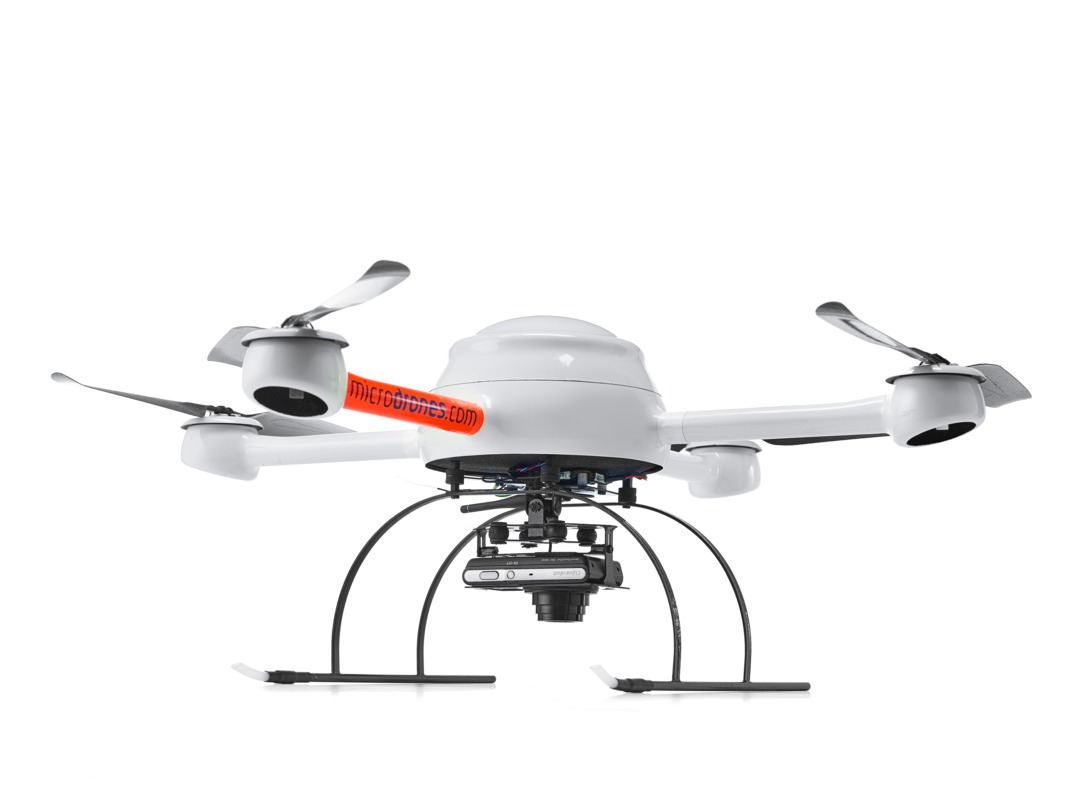
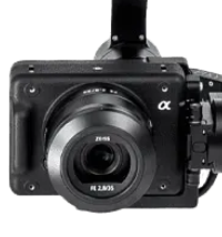
- High-Resolution Payload: The system is equipped with a high-quality camera, such as a Sony RX1R II with a 42.4-megapixel sensor, which captures crisp, detailed imagery. Some versions, like the mdMapper 1000 DG 3D, feature an array of five oblique cameras to capture a more complete 3D model.
- Robust Platform: The mdMapper 1000 DG is built on the proven and durable md4-1000 multi-rotor airframe. It is designed to be resistant to harsh conditions like wind, rain, and extreme temperatures, ensuring reliable performance in the field.
- Applications: The DG system is particularly well-suited for projects where the use of GCPs is impractical or impossible, such as:
- Corridor mapping (pipelines, power lines)
- Mapping hazardous or inaccessible locations (quarries, dam faces)
- Large-scale topographic surveys
- Construction site monitoring
- Volumetric calculations
Reviews
There are no reviews yet.