Description
At Seiler Geospatial, we’re elevating infrastructure inspection with a comprehensive drone-based solution that covers capture, analysis and reporting—so you stay ahead of distress and deterioration.
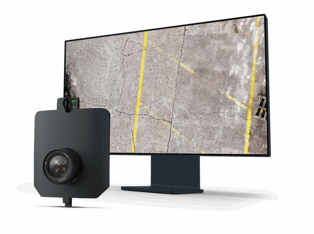
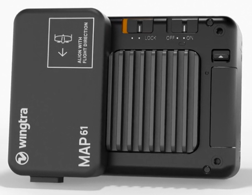
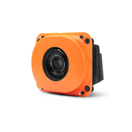
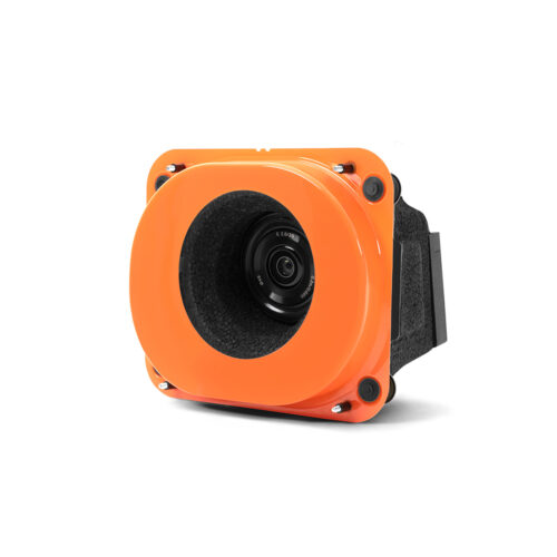
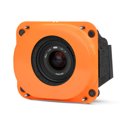
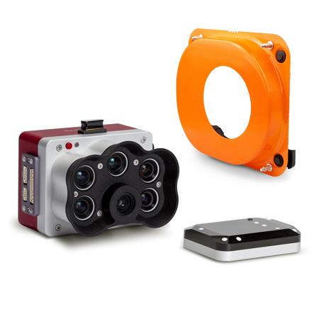
Working with Wingtra’s advanced platforms and payloads, we deploy drones that capture ultra-high-resolution imagery even in challenging environments. This data feeds into AI-enabled algorithms to automatically detect and quantify cracks, surface defects and structural anomalies. The result: accurate condition assessments without time-intensive manual interpretation.
Our workflow is optimized for real-world asset management:
- Rapid deployment and flight planning tailored to roads, runways, pavements or rail corridors, reducing closures and minimizing disruption.
- High-precision data capture—enabling defect detection at fine scale and full coverage of the surface.
- Automated processing pipelines that classify, measure and track defects over time, producing actionable metrics instead of raw imagery.
- Ready-to-use reports in formats that support pavement-management systems, regulatory compliance or in-house maintenance planning.
- Repeatable inspection programs: the same asset can be flown, processed and compared periodically so you get trend-data on crack progression, surface breakdown or asset degradation.
Whether you’re maintaining an airport runway, highway segment, dam crest or rail corridor, Seiler Geospatial offers a smarter, faster inspection model: flight-to-insight in hours, not days. Reach out to us to design a drone inspection program tailored to your portfolio.
Reviews
There are no reviews yet.