Your cart is currently empty!
American Built, Affordable Price. Check out the all new TrueView1 LITE
Photogrammetry
Accessibility, Speed, and Precision in Aerial Mapping.
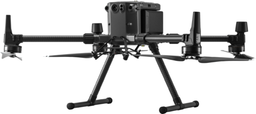
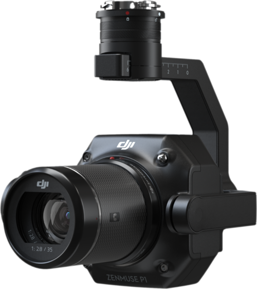
Photogrammetry remains a cornerstone of geospatial data acquisition due to its relative ease of use and broad accessibility. Compared to other advanced techniques, the initial investment and learning curve can be more manageable. Modern drones equipped with high-resolution cameras and precise positioning systems allow for rapid data collection over significant areas.
Furthermore, photogrammetric data can achieve remarkable accuracy. By utilizing drones with integrated Global Navigation Satellite System (GNSS) modules supporting Real-Time Kinematic (RTK) or Post-Processed Kinematic (PPK) positioning, in conjunction with strategically placed Ground Control Points (GCPs), centimeter-level accuracy is now a standard achievable outcome. The versatility of photogrammetry software allows for the generation of a diverse range of outputs tailored to specific project needs.