Your cart is currently empty!
American Built, Affordable Price. Check out the all new TrueView1 LITE
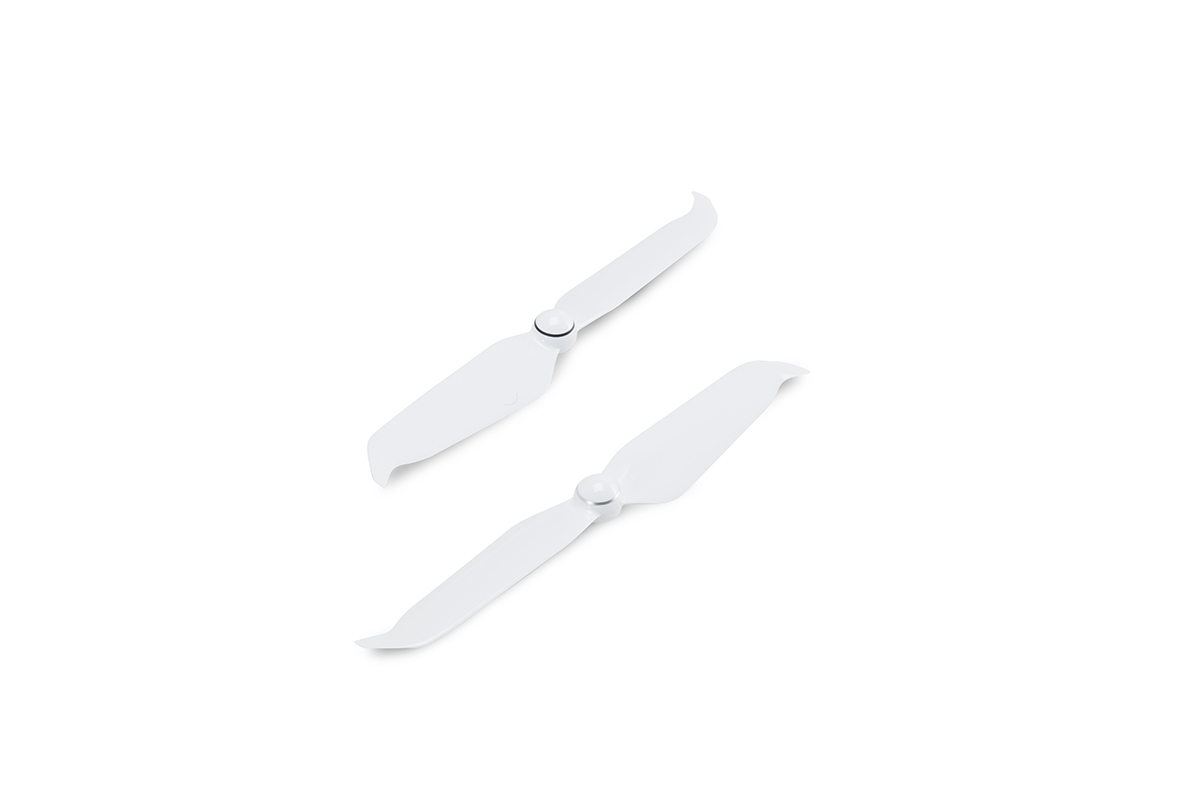
DJI Phantom 4 Propellers (2-pack)
Spare or replacement propellers for the Phantom 4 Series.
Description
The new Phantom 4 propellers have a brand new aerodynamic design giving the Phantom 4 series an impressive noise control performance. The quick-release mechanism of these DJI low-noise propellers enables easy installation. Two propellers are included in this set.
Additional information
| Weight | 1 lbs |
|---|---|
| Dimensions | 10 × 3 × 1 in |
")
")
")
")

Reviews
There are no reviews yet.