Description
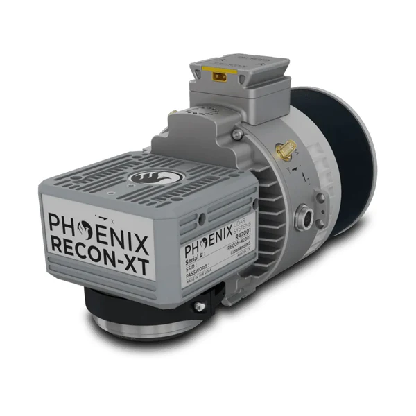
The LiDAR Kit – IF800 + PLS Recon-XT, offered by Seiler GeoDrones, is a cutting-edge aerial LiDAR solution designed for high-accuracy geospatial data collection. Featuring the IF800 UAS, this system provides exceptional flight stability and efficiency for professional surveying, mapping, and infrastructure assessment. The PLS Recon-XT LiDAR sensor delivers detailed 3D point clouds, enabling precise terrain mapping, forestry analysis, and structural inspection. Built for versatility and reliability, this kit ensures seamless workflow integration, superior data accuracy, and efficient aerial surveying capabilities for mission-critical operations.