Your cart is currently empty!
The “One-Stop-Shop Drone” for Surveying. Check out the all new WingtraRAY.

PIX4Dsurvey Yearly Rental
$2,000.00
PIX4Dsurvey Yearly Rental provides an annual subscription to advanced drone surveying software, enabling you to transform aerial imagery into precise, survey-grade maps and models with a predictable, budget-friendly cost.
Description
Experience seamless access to state-of-the-art drone surveying technology with PIX4Dsurvey Yearly Rental. This annual subscription is tailored for professionals in construction, agriculture, and surveying who require reliable, high-precision geospatial data. Benefit from powerful tools that streamline mission planning, automated data processing, and high-accuracy mapping—ensuring that every flight delivers actionable, survey-grade results. With continuous software updates and dedicated expert support, PIX4Dsurvey Yearly Rental offers a cost-effective, hassle-free solution to keep your projects on the cutting edge of photogrammetry throughout the year.
Related products
-
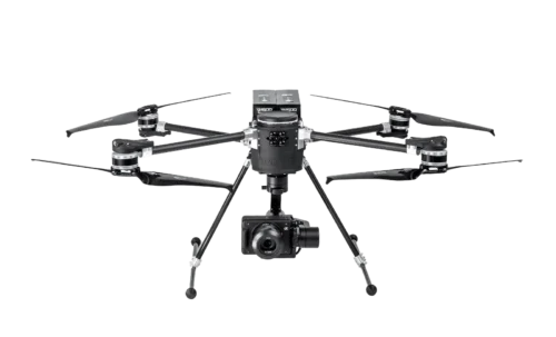
SkyScout Pro +
$27,384.00 -
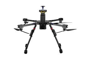
Ranger Pro 1100 Package
$23,125.00 -
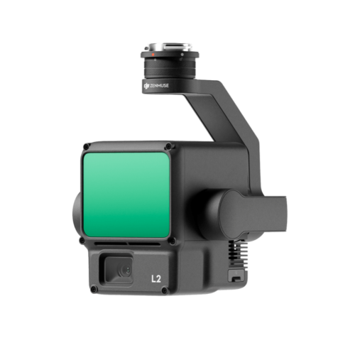
DJI Zenmuse L2
-
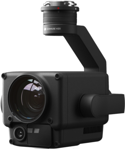
DJI Zenmuse H20
-
DJI Wingsland Z15 Spotlight