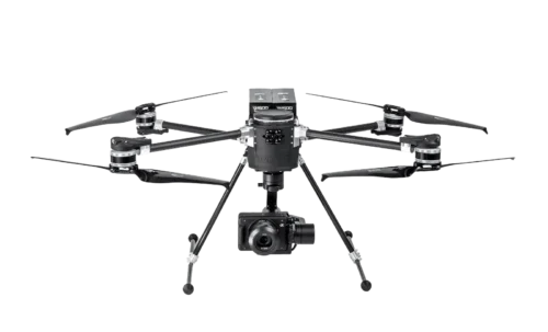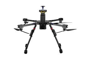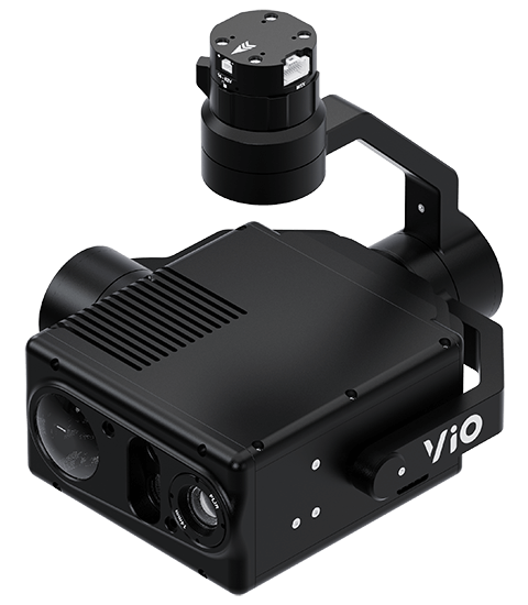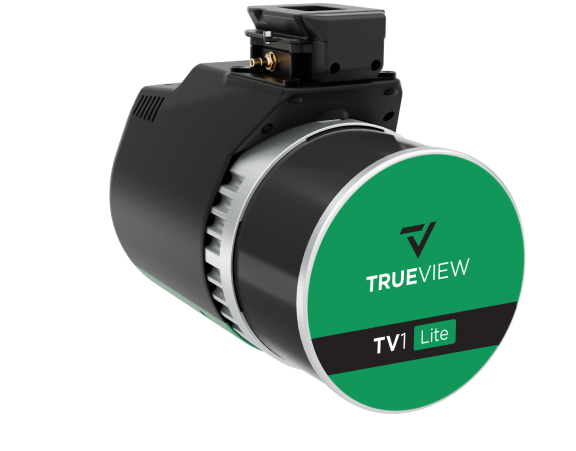
Description
Key Features:
- Cost-Effective LiDAR Solution – Provides accurate point clouds at an affordable price.
- Hesai XT32M2X Scanner – Captures detailed and reliable LiDAR data for various mapping applications.
- Integrated 20 MP Camera – Delivers high-resolution RGB imagery for enhanced photogrammetry and colorized point clouds.
- Lightweight & UAV-Optimized – Designed for seamless integration with multirotor drones.
- Advanced Data Processing – Fully compatible with LP360 software for automated classification, feature extraction, and analysis.