**Update** As of 3/17/2020, GeoPhoto is no longer in beta, info here.
It’s an exciting day for us today at GeoDrones as we are pleased to announce the beta version of GeoPhoto. GeoPhoto was created to address the issue of elevation accuracy for high precision drones. Our customer base was frequently looking for a shortcut to moving their data from ellipsoidal heights to NAVD88 elevations. There are a lot of tools out there to easily do this with typical geospatial data from more conventional positioning systems; however, to make this work with a drone required exporting/ importing log files and doing the conversion in some other tool.
GNSS (which is a catch-all for GPS like positioning satellites) systems reference their z position in an easily implemented model called the ellipsoid. However, most people want something in sea level, and more specifically NAVD88. To convert from one to the other, we use something called a geoid which relates ellipsoidal heights to elevations based on an X-Y position. A lot of popular image processing software apps do use geoids, but, unfortunately, they use large global geoids which are less accurate in the US. In the US, we specifically want to use Geoid12 or Geoid18, which are products of the US National Geodetic Service that take into account a lot of individual measurements by folks on the ground.
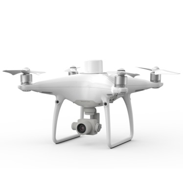
GeoPhoto takes the images from a high precision drone (like the Phantom 4 RTK or the Matrice 210 RTK V2) and reads location info from metadata in the photos (EXIF) of an entire folder that a user selects. It takes the XY location of the photo and uses the geoid separation from the geoid at each location to determine the offset information for the photo point. It then, without changing any aspect of the photo, writes the corrected value into the metadata from the photo. It also changes the name of the photo a bit so it’s clear to the user that the photo has been adjusted, and it writes an entry into a log file that it creates. Make sure you are on a mostly unimpeded network as the software does need the internet for validating the time at the start and also for contacting an NGS server.
We’ve recorded a walkthrough video of the software, which you can also view embedded below, and a user can sign up for a license on our web form here: https://www.seilergeo.com/geophoto/.
There are a couple important notes we would like to make. This is a beta version so there are bugs here and there. One of those bugs is the progress bar stops working, but it only occurs on some machines. Please watch the file folder if you want to see the progress and you’re experiencing the bug. This does use a brute force method to determine the offset for each photo. If you are at a site with very little variation, the same value may be written into each photo. We’re hoping this will be addressed in a later version.
If you get a license, please do not forward the email to the download if you want to share this with someone (that’s against the EULA). Instead, please direct them to the license form (it’s free anyway, so why not?). This is VERY important as it helps us gage interest which will help us know to continue development here. We plan to license this yearly, but the license will expire every year on 12/31. The free version should likely persist, but at some point we do plan to have a customer-only version which will include a lot more functionality and it should be A LOT faster. Also, if you use this tool and you’re not a customer, please consider us on your next drone purchase (or Autodesk license). Please let us know if you have any comments, questions or bugs in the comments section or by email to [email protected].
