Your cart is currently empty!
Powerful Range, Elevated Precision.


Quantum Systems Trinity F90+
$18,300.00
Easy and safe handling A push of a button is enough and the UAV will do its assigned job. The remote control has a clean layout without confusing switches and levers. The TrinityF90+ and the remote controller work together seamlessly to get your job done automatically, while still providing emergency override capabilities. Thanks to Quantum’s…
Description
Easy and safe handling
A push of a button is enough and the UAV will do its assigned job. The remote control has a clean layout without confusing switches and levers. The TrinityF90+ and the remote controller work together seamlessly to get your job done automatically, while still providing emergency override capabilities. Thanks to Quantum’s sophisticated electric VTOL design your investment is never in danger due to a flawed hand launch or a rough belly landing.
Reliable and integrated design
Quantum Systems designed the TrinityF90+ as a product that meets the requirements of professionals. They started from scratch with a highly integrated industrial product in mind. You can see the result in every detail, such as the optimized electric layout, the efficient cargo container or the clean finish of the outer shell. It truly showcases the best of German engineering.
Longest flight time in its class
The ability to switch to gliding mode enables the TrinityF90+ to directly benefit from an enhanced long range capability. We dedicated many hours to optimize the wing geometry to push the glide ratio to an astounding 14:1! Using only one specially-designed motor in the rear fuselage increases the flight time far beyond current industrial UAVs by reducing energy consumption to a minimum.
Small footprint
The TrinityF90+ comes “ready to fly” (RTF) in a molded transport case which offers enough space for the whole package with room to add two optional battery packs, accessories, and a tablet PC. A padded cover with convenient carrying options makes it easy to transport the package to the farthest operation area. At a size of 100x83x27cm it can be stowed away easily.
- 90+ minutes*/ 60 minutes flight time
- wide range of high precision sensors, e.g. dual RGB & NDVI payload and 42 MP HighRes RGB
- PPK including Quantum-System iBase ground reference station powered by u-blox
- Powerful motors for even more reserves in all situations
- Live Air Traffic (ADS-B) incl. QBase 3D Mission Planning
- 2.4 GHz telemetry with up to 7 km command & control range
- Optional ADS-B Mode-S transponder
* subject to export regulation, may require export permission
More survey data in less time
Whether in the agricultural sector, in the mining business or when inspecting industrial plants and construction progress, more data can be recorded in shorter time than it was previously possible with conventional systems. The Trinity F90+ demonstrates its range advantage in comparison to classic multirotor and other fixed-wing drones due to the longer flight time and covers up to 20 times larger areas. The larger the area to be covered, the more attractive the use of the Trinity F90+ gets.
- 100 km (62 mi) flight range
- 7.5 km command & control range
- Map up to 700 [email protected] inch/px GSD (3.2 cm/px) at 120 m AGL
- Flight time 90+ min (if unlocked)
No Belly Landings
Rough landings should be avoided at any time. We unconditionally rely on vertical take-off and landing (VTOL) to guarantee smooth landings and therefore a long service life. The landing gear additionally supports the safety of the components by offering additional flex.
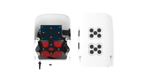
Easy Payload Swapping
Payloads can easily be swapped in seconds. No tools are required and the sensors are highly integrated to support the pilots’ mission planning.
Easy to Access to your Data
Access to the recorded data is uncomplicated via external card slots. If more sophisticated storage solutions are necessary, our payload compartment provides enough space for this option.
Payload Damping
All cameras are damped against in-flight vibrations to guarantee highest image quality.
Use Cases
- Mapping
- Geo-referenced aerial images
- Surface models
- Point cloud
- Distance and volume measurements
- Land and infrastructure environment
- Archeological surveys and excavation monitoring
- Mining
- Site planning
- Contour maps
- Stockpile and slope analysis
- High accuracy without GCPs
- Safe landing despite rough terrain
- Inspection
- Thermal inspection
- Optical inspection
- Multispectral inspection
- Crop inspection
- Monitoring
- Mine or quarry monitoring
- Land cover classification
- Monitoring and documentation of construction progress
- Monitoring of linear infrastructure
- Agriculture
- Pest infestation detection
- Quantity moisture levels
- Analyze wildlife damage
- Vegetation index creation like NDVI
- Crop counting
- Industrial
- 3D models of sites
- Aerial inspection
- Construction site surveys
Additional information
| Weight | 40 lbs |
|---|---|
| Dimensions | 40 × 33 × 11 in |
Related products
-
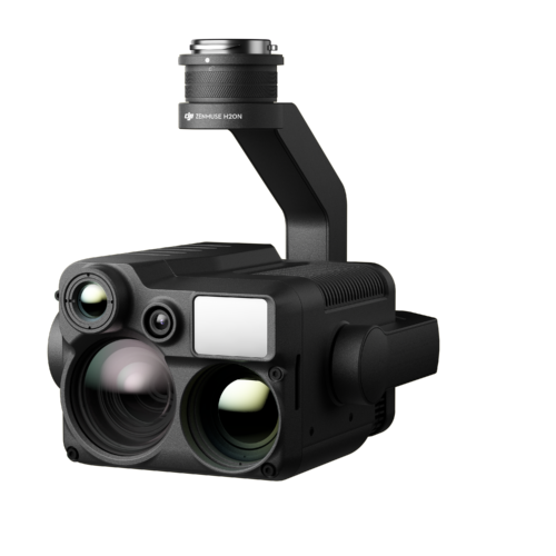
DJI Zenmuse H20N
$9,737.00 -
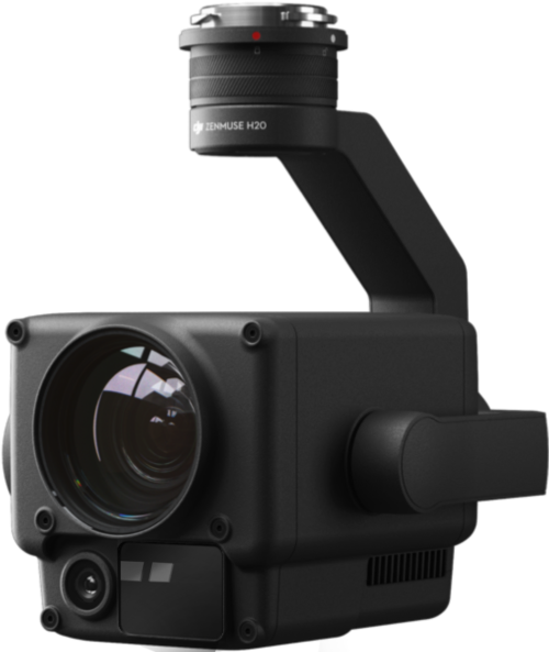
DJI Zenmuse H20
$3,849.00 -
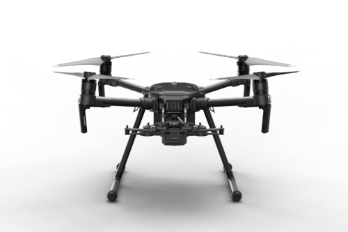
DJI Matrice 210 RTK v2
$13,150.00 -
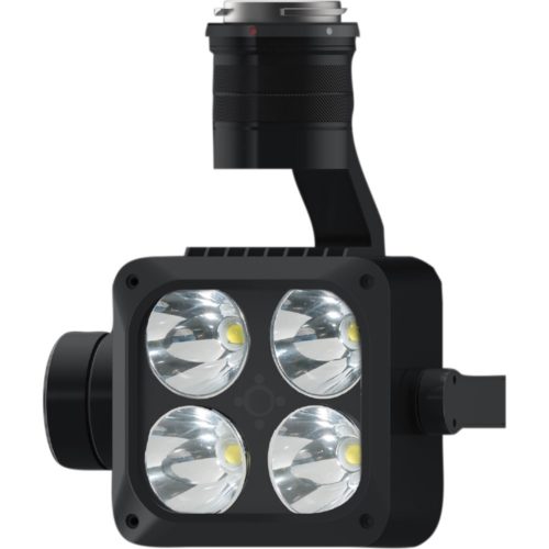
DJI Wingsland Z15 Spotlight
$2,500.00 -
Quantum Systems F90+ Payload – MicaSense Dual RedEdge-MX (Red and Blue)
$12,888.00
Reviews
There are no reviews yet.