Your cart is currently empty!
Powerful Range, Elevated Precision.
LiDAR
Light Detection and Ranging, better known as LiDAR, is a newer technology but is already bringing big advancements to the drone industry. Traditional LiDAR units were flown in airplanes but with recent technological advancements in camera specs, inertial measure units (IMU), and battery life, these precision sensors are now able to be attached to drones.
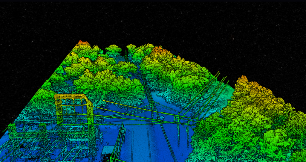
This method of data collection, in some cases, is more appropriate to the task than others. LiDAR is a technique used for measuring the distance to a defined object by transmitting a series of laser beams. More specifically, it is a direct measurement that is physically hitting a feature with light and measuring the reflection. In a typical system the drone will fly over a predetermined area and the sensor will shoot between 200,000 and 500,000 laser beams a second onto the ground below. Since the sensor uses lasers, it is possible and likely that the beams penetrate dense vegetation and collect ground data, where traditional photogrammetry is unable to do.
LiDAR is all about high precision so the IMU is a crucial part to gathering accurate data. The IMU essentially makes sure the drone’s angular position is known at all times, and makes adjustments to the sensor to keep the data accurate — no matter which way the drone is moving.
Additionally, a standard RGB camera is sometimes integrated into the LiDAR unit in order to colorize the point cloud.
LiDAR data can be very useful in a variety of applications including land surveying, powerline inspections, environmental surveys, as well as crime scene and accident reconstruction. Seiler GeoDrones carries a variety of LiDAR sensors for every application.
Related Products
-
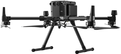 DJI Matrice 300 RTK
 -
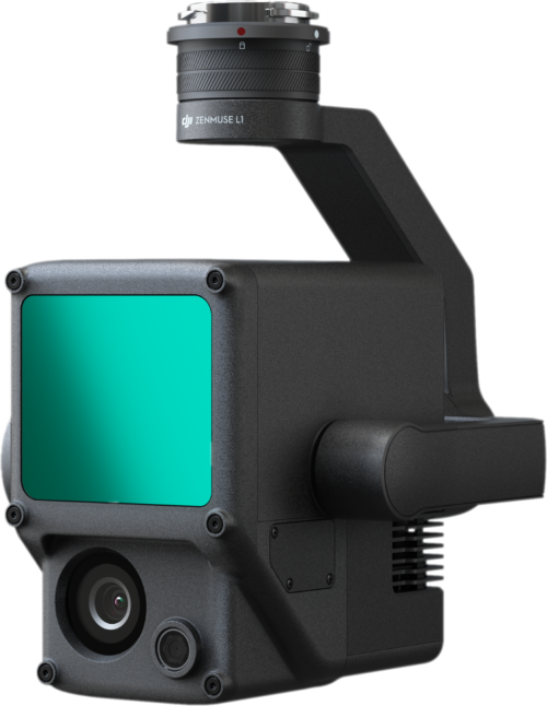 DJI Zenmuse L1 LiDAR System$9,800.00
 -
 Quantum Systems F90+ Payload – Qube 240 LiDAR$57,500.00
 -
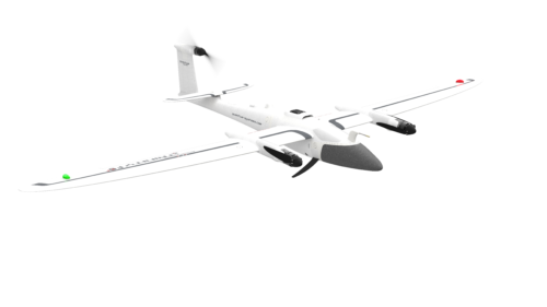 Quantum Systems Trinity F90+$18,300.00